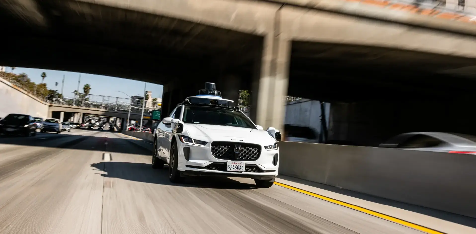
Global Navigation Satellite System (GNSS) reliability stands as a foundational challenge for autonomous vehicles navigating city streets. Urban environments create signal blockage through tall buildings, tunnels, and dense infrastructure, degrading GPS accuracy below the centimeter-level precision that self-driving systems demand.
Autonomous vehicles rely on GNSS as a primary localization tool, especially when fusing data with LiDAR, radar, and camera inputs. In open-sky conditions, standard GPS delivers accuracy within 5-10 meters. That margin proves unacceptable for vehicles operating at highway speeds or maneuvering through tight urban corridors. Loss of GNSS signal in downtown areas or parking garages forces AVs to depend entirely on visual odometry and inertial measurement units, which accumulate drift errors over time.
Modern autonomy stacks address this through redundancy. Real-time Kinematic (RTK) GNSS improves accuracy to centimeter-level precision by using ground-based correction stations, though infrastructure rollout remains incomplete across most regions. HD map matching helps vehicles maintain positional awareness even when satellite signals weaken, allowing the vehicle to compare its sensor data against pre-built reference maps.
The industry faces a chicken-and-egg problem. Autonomous vehicle deployment accelerates in cities, yet those same cities present the harshest GNSS denial environments. Waymo, Cruise, and other AV developers have invested heavily in robust sensor fusion architectures that treat GNSS as one input among many rather than the foundation layer. This approach adds cost and computational complexity.
Regulatory bodies increasingly recognize GNSS reliability as non-negotiable for safety certifications. The Society of Automotive Engineers (SAE) Level 4 and Level 5 standards implicitly require redundant positioning methods that function during GNSS outages. Manufacturers testing autonomous systems in major