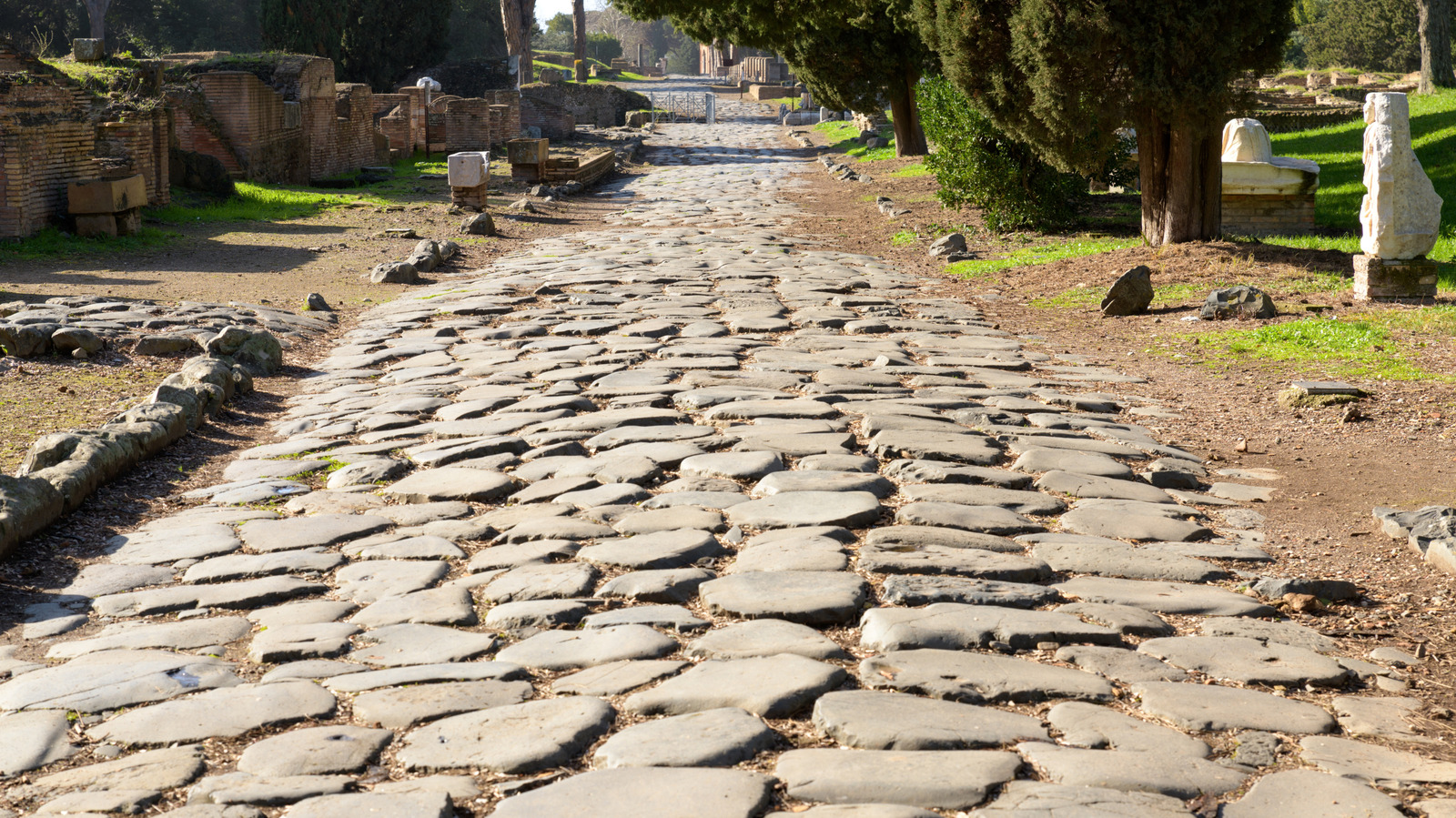
Researchers have completed a comprehensive digital map of Rome's entire road network, encompassing roughly 190,000 miles of thoroughfares that connected the empire at its peak. This unprecedented cartographic achievement reveals how the Romans engineered one of history's most sophisticated transportation systems, complete with infrastructure features that modern highways still employ today.
The Roman road network extended across three continents and served as the backbone of imperial commerce, military logistics, and governance. Beyond raw mileage, the study documents how Roman engineers designed these routes with remarkable foresight. Mile markers appeared regularly along major routes, allowing travelers to track progress and calculate journey times. Distance markers indicated upcoming towns and waypoints. Rest stops, known as mansiones, provided shelter, food, and fresh horses for merchants and military couriers covering these vast distances.
These weren't crude dirt paths. Roman roads featured layered construction with stone foundations, gravel beds, and sometimes paved surfaces that shed water effectively. Drainage systems prevented washouts. The roads themselves often ran remarkably straight, cutting through terrain rather than skirting around it, a design philosophy that prioritized efficiency over terrain avoidance. Some scholars estimate Roman roads could handle traffic volumes comparable to mid-twentieth-century American highways.
The digitization project carries obvious parallels to modern transportation infrastructure. Today's interstate system, while built on paved asphalt rather than fitted stone, echoes Roman principles. Mile markers still line American highways. Rest stops serve the same function as Roman mansiones. Highway signage indicating distances and upcoming services directly mirrors the distance markers Romans placed along their roads. The Romans understood that reliable, well-marked routes reduced travel times, increased commerce, and strengthened central control over far-flung territories.
The comprehensive mapping effort required analyzing thousands of historical texts, archaeological surveys, and existing road remnants across Europe, North Africa, and Asia Minor. Modern GIS technology allowed researchers to layer historical records onto digital terrain maps, reconstructing routes that have largely vanished or been replaced by modern roads. Some sections remain visible as slightly elevated ridges in fields. Others survive as modern streets that unknowingly follow two-thousand-year-old paths.
Understanding this network reveals how infrastructure shaped empires. The Roman road system enabled rapid military deployment, standardized communication timelines, and the movement of goods across half the known world. Merchants could reasonably predict travel times. Military legions could respond to uprisings or threats with predictable timelines. The standardization of these routes and their infrastructure created economic efficiency that sustained Roman power for centuries.
This research serves as a historical reminder that transportation infrastructure drives civilization. The Romans invested heavily in roads because they understood that moving people and goods efficiently was essential to maintaining control and generating wealth. Modern transportation planners inherit this same understanding. Highways, rail networks, and air routes remain central to economic output and political stability. The Roman example demonstrates that such infrastructure requires consistent maintenance, strategic planning, and the willingness to invest resources in connectivity across vast distances.